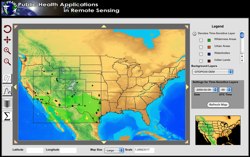
 In 2008, the five-year NASA-funded REASoN project known as PHAiRS entered its fifth and final year. This project is unique in that it has successfully modified a dust forecast model for conditions in the southwest United States and improved the model’s performance by using NASA Earth observation data as input parameters. Furthermore, it has engaged the public health communities in Arizona, New Mexico, and Texas in all phases of the project. Significant progress has been made in developing a demonstration web client, the standards-based service-based architecture on which it depends, and the incorporation of EPA in-situ particulate matter concentration data. Most significant is the availability of forecast dust data via Open Geospatial Consortium web services, allowing users to quickly acquire data using time-enabled WMS requests, both through direct requests and through an online KML generation tool for streamlined visualization in desktop virtual globe applications such as Google Earth. In the final months of the project, the PHAiRS capabilities and products will be incorporated into the Syndrome Reporting and Information System (SYRIS) and tested by the City of Lubbock Department of Health and the Texas Department of Health District 1.
Demonstration Movies:
This project is no longer active
 EDAC worked with the National Diabetes Prevention Center (NDPC), Program Development Branch, National Diabetes Wellness Program, and Center for Disease Control and Prevention (CDC) to assist in serving Native communities. As part of the project we developed a public health tool for displaying, analyzing and mapping diabetes in Indian country. This lead to the development of culturally sensitive educational materials, diabetes mapping tools and other GIS/healthcare related products.
This project is no longer active
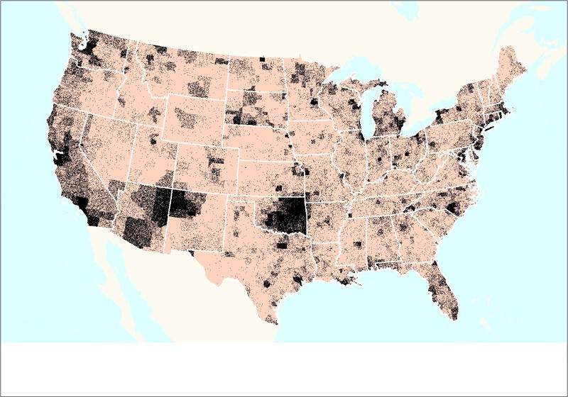 EDAC in cooperation with the National Indian Council on Aging, and sponsored by the Indian Health Services (IHS) through the Indian Elder Care initiative developed an interactive Atlas of Indian Elder Health. The interactive atlas provided query capability to IHS databases and displayed the results as maps at national, regional, or local levels. Health data were overlaid with environmental, socioeconomic, and geopolitical data from the US Bureau of Census, the Environmental Protection Agency and other public domain data sources. While targeting Indian elders, the interactive mapping application contained IHS de-identified data for patients of all ages, making it a valuable national healthcare resource for Indian country. The Atlas highlighted the needs and conditions of this special population while providing tools and methods to better understand elders and elder needs.
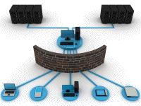 In conjunction with our application development work, we also provide ongoing hosting of the applications that we develop for particular projects. The specific hosting model will vary from project to project, but the following services are available as part of any hosting package:
Specific hosting solutions are typically customized to meet the requirements of particular applications. The general capabilities that have previously been deployed and hosted on EDAC’s servers include:
While these solutions are just examples of the numerous application development and hosting solutions that EDAC has developed over the past several years, they illustrate the breadth of options available for hosting services provided by EDAC.