EDAC personnel are experts in processing and analyzing a wide range of remotely acquired data. Aerial and satellite data from a variety of government and commercial systems are processed to inventory croplands, map vegetation, and assess mineral and petroleum deposits, both nationally and internationally. GPS and GIS technologies are often used in conjunction with imagery to model the landscape. Data visualization using imagery, elevation data, and vector coverages is becoming an increasingly popular product for our clients.
Data we have processed include:
|
|

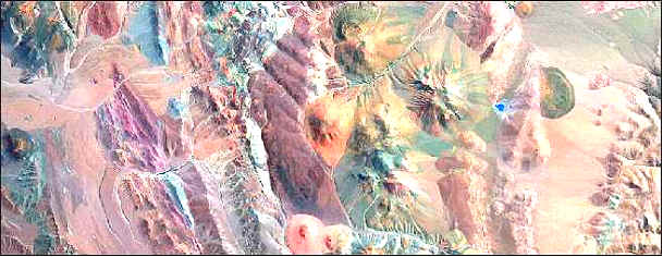
EDAC-generated Landsat Thematic Mapper enhancement of geology and structure in the Chilean Andes
Our services are performed on a cost-reimbursable basis. Projects are tailored to user needs and can include end-to-end processing, project design, interpretation, or delivery of an enhanced image for client interpretation.
See the EDAC Image Processing/Remote Sensing Projects and Products pages for samples of our work.
EDAC uses ERDAS IMAGINE software for all image processing projects and our hardware consists of several high-end PC workstations. We have multiple IMAGINE licenses running IMAGINE Professional with the Vector Module as well as VirtualGIS.
 |
 |
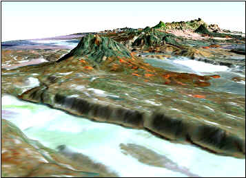
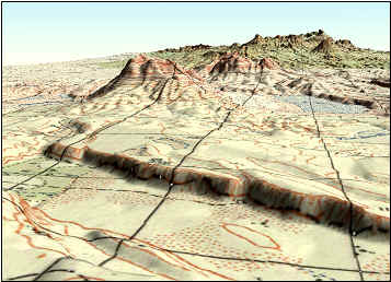
| Landsat 7 | Russian topographic map |
| 3-Dimensional views of Ethiopia/Eritrea area created with Russian DEM files | |
Our project range includes creating mosaics of satellite and aerial imagery, performing multispectral analyses for mineral exploration, mapping vegetation and land cover using GPS-derived spectral signatures, and generating digital orthophotographs.
For more information, please contact Paul Neville.