This project is no longer active

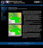
The “New Mexico Watch – Active Wildfires” was a public website developed and hosted by the Earth Data Analysis Center that provided information about active wildfires in the state of New Mexico. NMWatch integrated local data (public schools, hospitals, fire stations, law enforcement, community centers, watershed boundaries) with active wildfire perimeter and location information generated daily by the Geospatial Multi-Agency Coordination Group (GeoMAC). Local fire information was added as available from NM Fire Info (New Mexico Fire Information). Users were able to measure distance and calculate area using built-in tools.
This project is no longer active
 The New Mexico Public Schools Facilities Authority (PSFA) Statewide Web map was developed to communicate information about public schools in the State of New Mexico. The Web Map displayed public school information including school enrollment numbers, school capacity calculations, the New Mexico Facilities Database ranking information, and community assets are presented in tabular and graphical formats.
This project is no longer active
This three-year NASA-funded project was built upon EDAC’s combined experience and capabilities built as part of the PHAiRS and NM EPHT projects through the development of dust and ozone forecast products and information delivery capabilities that are deliverable through the NM EPHT system. This project delivered PM2.5 and PM10 raster and aggregated vector data products into the NM EPHT system, and through our past work with modelers at the University of Arizona and NASA’s Marshall Space Flight Center delivered enhanced dust and ozone forecasts into NM EPHT.
This project is no longer active
 EDAC worked with the National Diabetes Prevention Center (NDPC), Program Development Branch, National Diabetes Wellness Program, and Center for Disease Control and Prevention (CDC) to assist in serving Native communities. As part of the project we developed a public health tool for displaying, analyzing and mapping diabetes in Indian country. This lead to the development of culturally sensitive educational materials, diabetes mapping tools and other GIS/healthcare related products.
This project is no longer active
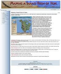
 EDAC in cooperation with the National Indian Council on Aging, and sponsored by the Indian Health Services (IHS) through the Indian Elder Care initiative developed an interactive Atlas of Indian Elder Health. The interactive atlas provided query capability to IHS databases and displayed the results as maps at national, regional, or local levels. Health data were overlaid with environmental, socioeconomic, and geopolitical data from the US Bureau of Census, the Environmental Protection Agency and other public domain data sources. While targeting Indian elders, the interactive mapping application contained IHS de-identified data for patients of all ages, making it a valuable national healthcare resource for Indian country. The Atlas highlighted the needs and conditions of this special population while providing tools and methods to better understand elders and elder needs.