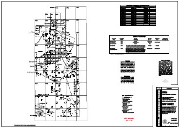
 EDAC, in cooperation with the New Mexico Department of Homeland Security and Emergency Management (DHSEM), continues the partnership among state and Federal agencies, local communities, tribal entities, and professional associations to assess, inventory, acquire, and distribute data that support coordinating, planning, and developing floodplain mapping, as stated in New Mexico’s Map Modernization Management Support (MMMS) business plan. EDAC provides the State with an ongoing coordinated floodplain mapping program. In light of the Flood Map Modernization Mid-Course Adjustment, greater focus has been placed on compliance with FEMA’s 2005 Floodplain Boundary Standard, which includes providing access to the most current and accurate digital data layers. The digital data will be accessible to engineers, local communities, and citizens of New Mexico thus providing officials information required for accurate assessment of risk-based mapping priorities.