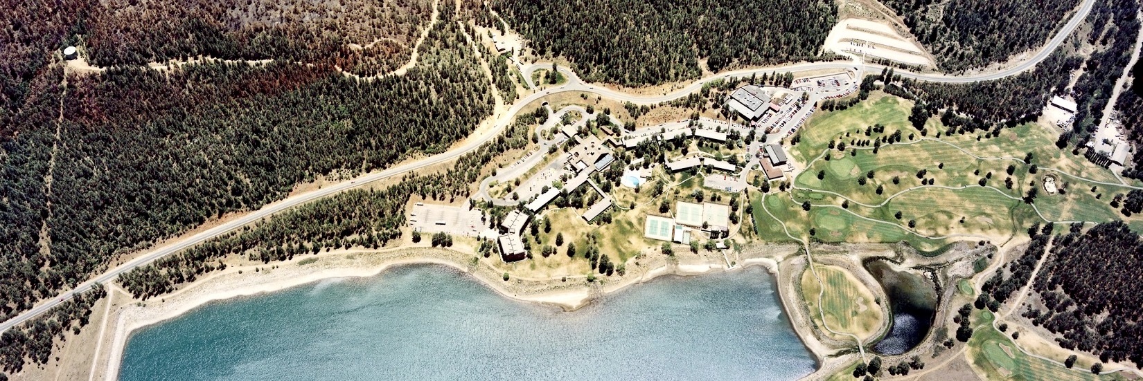
Home

Earth Data Analysis Center (EDAC) was established at the University of New Mexico (UNM) in 1964 to transfer NASA space-based technology to the private and public sectors. Since 1964, EDAC has expanded its services from a library clearinghouse (1968-present) to include remote sensing (1973), image processing (1979), GIS (1983), GPS (1990), and information technologies (1999). We provide a complete suite of Geospatial Information Science (GI-science) and technology services to all users.

Our Vision

EDAC’s vision is to be a center of expertise in the GI-sciences for UNM, the State of New Mexico, the nation, and the world. EDAC is well known among Federal agencies; state, local and tribal Productsgovernments; professional societies, organizations; and advisory bodies nationally and internationally. Our mission is to serve the needs of these communities by employing GI-science and technologies. We strive to bridge UNM’s academic units and the external communities they serve; to facilitate and stimulate collaborations between government agencies, between government and private organizations, and between universities in the region; and to strengthen graduate education to meet the increasingly complex resource management and decision needs. As a part of the University community, we hire students to work with us on our GI-science projects.

EDAC’s Areas of Expertise

EDAC’s staff come from a variety of academic disciplines including Geography, Anthropology, and Geology, and, more importantly, have developed skills in working across disciplinary boundaries with a wide variety of collaborating project partners and end-user communities. Our work with collaborators has allowed us to develop successful projects in a wide variety of domains, including:

  • Public health
  • Atmospheric modeling
  • Hydrologic modeling
  • Transportation infrastructure
  • Floodplain management
  • Border dispute resolution
  • Ecological modeling and habitat analysis
  • Resource management
  • Demographic analysis
  • Range management
  • Econometric modeling and analysis
  • Civil society collaboration

EDAC’s Programs

EDAC currently concentrates in the following areas of applied GI-science, each of which is managed by a designated staff member.

  • Geographic Information Systems (GIS) : EDAC’s GIS Team offers custom GIS products and services that include Internet and desktop mapping applications development; spatial data acquisition, processing, and generation; spatial modeling and analysis; and map product (both digital and hardcopy) generation. Contact: Shirley Baros
  • Image Archive and Data Services : EDAC’s Image Archive provides users with historical aerial photography of NM and the Southwest, space shuttle imagery, satellite imagery, and topographic maps. Supporting services include custom maps, posters, image searches and other digital products as requested. EDAC is a member of the National Science Network Consortium (1888 ASK USGS) and the NM photography repository for many federal agencies including US Forest Service, Bureau of Reclamation and NRCS Contact: Laura Gleasner
  • Image Processing and Remote Sensing : EDAC personnel are expert in processing and analyzing a variety of remotely acquired data. Aerial and satellite data from a wide variety of government and commercial systems are processed in support of a wide range of application areas including crop inventory, natural resource management, and border conflict resolution. Specialized visualization products developed by EDAC’s remote sensing group include 2- and 3d static maps and 3d animations depicting movement through terrain draped with imagery. Contact: Tom Budge
  • Information Technology (IT) : EDAC’s IT operations are constantly evolving to meet the rapidly increasing demands for efficient geospatial data storage, management, and access. IT services and capabilities that EDAC has developed include hosting and development of geospatial databases, online mapping and geospatial analytic applications, collaboration portals and web sites, and standards-based data and map services. Contact: Karl Benedict
  • RGIS Data Clearinghouse : The RGIS Data Clearinghouse is New Mexico’s clearinghouse for digital geospatial data providing state agencies, local governments, and private industry with a comprehensive suite of geospatial data, metadata, and services. Contact: Laura Gleasner

The outline provided above is only a sketch on the diversity of EDAC’s work, ongoing activities, and expertise. For more information on EDAC’s Programs, please visit the individual program pages.